TS//RELIDO/UNCLASSIFIED MIX

20231121

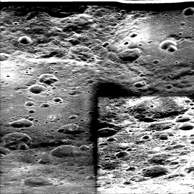
Target Moon Mission SMART-1


Target

Moon

Mission

SMART-1

Instrument

AMIE

Processing Level

3

Instrument Host

Not Available

Instrument Type

Imager

Sub Instrument

Not Available

Version

1.1


Wavelength Range

VIS


SMART-1

MISSIONINSTRUMENTPRINCIPAL INVESTIGATOR(S)
SMART-1AMIEJean-Luc Josset (Space Exploration Institute, Neuchatel, Switzerland)
 D-CIXSM. Grande (University of Wales, Aberystwyth, UK)
 SIRUwe Keller (Max Planck Institute, Germany)
 SPEDEAnssi Malkki (Finnish Meteorological Institute, Helsinki, Finland)
 XSMJuhani Huovelin (University of Helsinki, Helsinki, Finland)

20231119

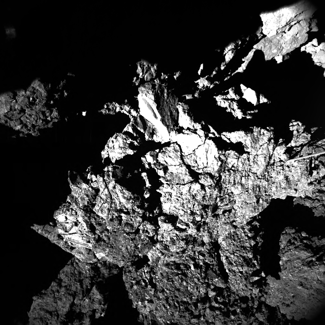
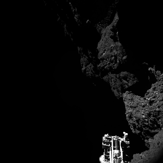
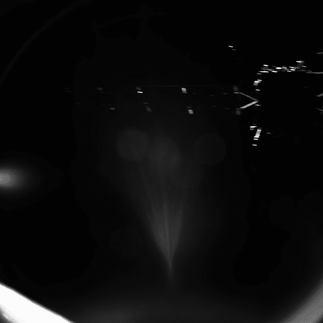
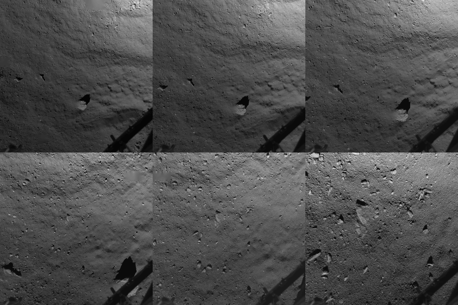
Mission Rosetta, lander images

https://www.sciencedirect.com/science/article/pii/S0032063316304688?via%3Dihub


Target 67P/C-G
Mission Rosetta
Instrument ROLIS
Processing Level 2
Wavelength Range VIS, NIR

ROSETTA

MISSIONHOSTINSTRUMENTPRINCIPAL INVESTIGATOR(S)
RosettaOrbiterALICES. A. Stern (SwRI, Boulder, USA)
  CONSERTW. Kofman (LPG, Grenoble, France)
  COSIMAM. Hilchenbach (MPS, Katlenburg-Lindau, Germany)
  GIADAA. Rotundi (Università degli studi di Napoli “Parthenope”)
  MIDASM. Bentley (IWF, Graz, Austria)
  MIROM. Hofstadter (NASA/JPL, Pasadena, USA)
  NAVCAMThe NAVCAM is commanded by the Rosetta Flight Dynamics and Flight Control Teams at ESOC. The data were processed and archived by the Rosetta Science Ground Segment (SGS) and the Planetary Science Archive Team (PSA) at ESAC.
  OSIRISH. Sierks (MPS, Goettingen, Germany)
  ROSINAK. Altwegg (University of Bern, Switzerland)
  RPCICAH. Nilsson (Swedish Institute of Space Physics, Kiruna, Sweden)
  RPCIESJ. Burch (SwRI, San Antonio, TX., USA)
  RPCLAPA. Eriksson (Swedish Institute of Space Physics, Uppsala, Sweden)
  RPCMAGK-H Glassmeier (TU Braunschweig, Germany)
  RPCMIPP. Henri (LPC2E/CNRS, Orléans, France)
  RSIM. Paetzold (University of Cologne, Cologne, Germany)
  VIRTISF. Capaccioni (IAPS-INAF, Rome, Italy)
 Philae LanderAPXSG. Klingenhoefer (Gutenberg-University, Mainz, Germany)
  CIVAJ.P. Bibring (Institut d'Astrophysique Spatiale, France)
  CONSERTW. Kofman (LPG, Grenoble, France)
  COSACF. Goesmann (MPS, Goettingen, Germany)
  MUPUST. Spohn (DLR, Germany)
  PTOLEMYI. Wright (Open University, UK)
  ROLISS. Mottola (DLR, Germany)
  ROMAPH-U. Auster (Technische Universitaet Braunschweig, Germany)
  SD2A. Ercoli-Finzi, (Politecnico di Milano, Italy)
  SESAME

M. Knapmeyer (DLR, Germany)

 AncillaryShape ModelThe shape models have been produced using data from the OSIRIS and NAVCAM instruments. Consult the CITATION_DESC in the label of each product you use and make sure that you cite / acknowledge the relevant data producer listed there.

Target 67P/C-G Mission Rosetta ROL_FS3_141112153257_336_00 to ROL_FS2_141112153355_336_06


Product Identifier ROL_FS3_141112153257_336_00 to ROL_FS2_141112153355_336_06

Dataset Identifier RL-C-ROLIS-3-SDL-V1.0

Start Time 2014-11-12 15:32:57.000

Stop Time 2014-11-12 15:33:55.038

Target 67P/C-G Mission Rosetta

Instrument ROLIS

Processing Level2

Instrument Host Lander

Instrument Type Imager

Sub Instrument Not Available

Version 1.0


Wavelength Range VIS, NIR


Assembled by Barley Culiner with GIMP

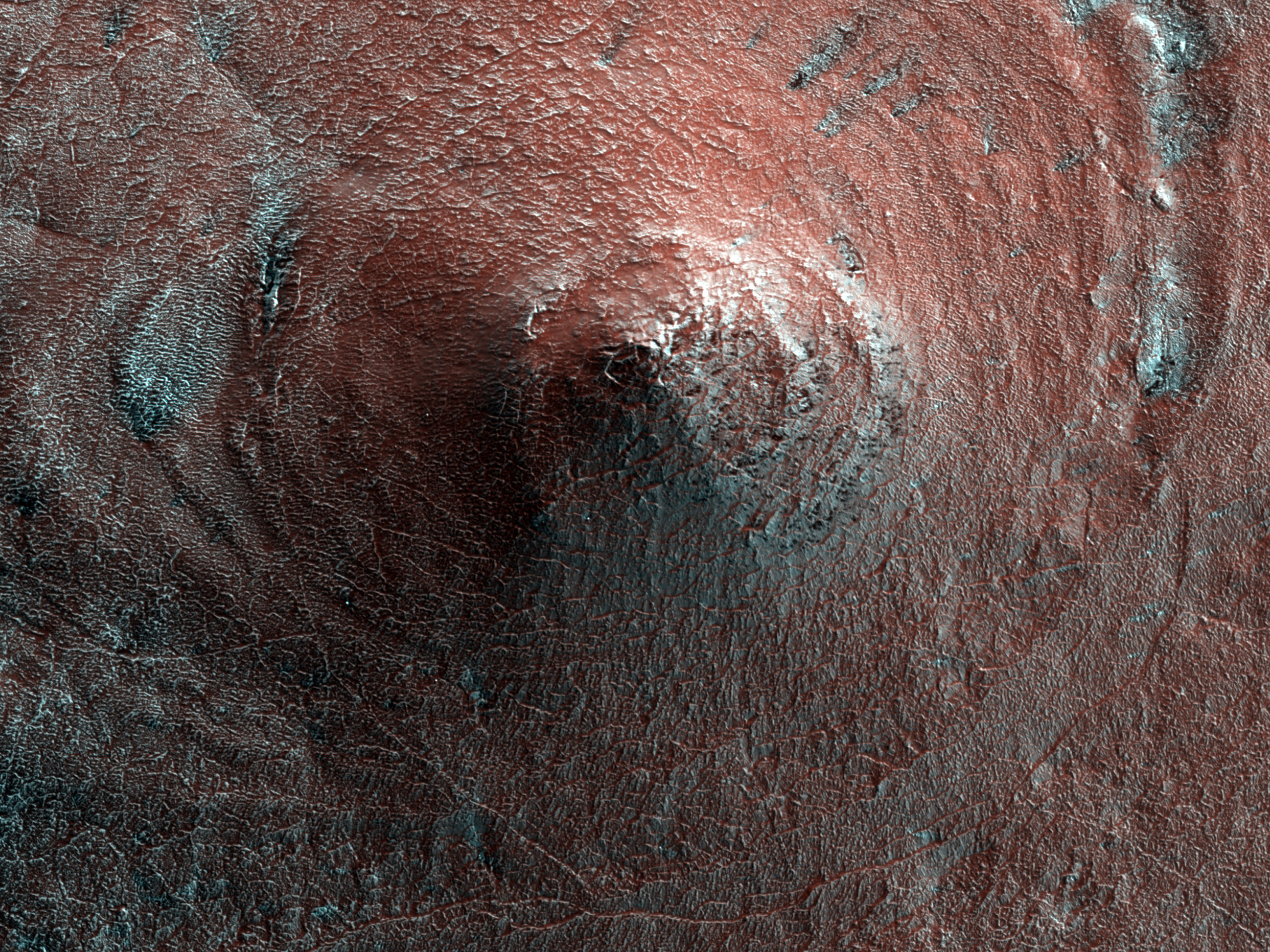
A Conical Hill on South Polar Layered Deposits

Amazing work being done at The University of Arizona

https://www.uahirise.org/hipod/ESP_030196_0970

A Conical Hill on South Polar Layered Deposits

This image shows an odd pointy hill on the South Polar layered ice deposits.

The hill appears layered and may be an erosional remnant, in which most of the region been eroded to a depth of at least the height of this hill (about 20-30 meters), maybe more. The dark spots and streaks are due to defrosting of the seasonal cover of dry ice (carbon dioxide).

ID: ESP_030196_0970

date: 4 January 2013

altitude: 247 km

https://uahirise.org/hipod/ESP_030196_0970

NASA/JPL-Caltech/UArizona

#Mars #science #NASA

20231118

HN724_0001_SR3.IMG to HN724_0008_SR3.IMG


HN724_0001_SR3.IMG to HN724_0008_SR3.IMG

2022-10-13 17:34:22.803 to 2022-10-13 17:34:42.147

Dataset IdentifierMEX-M-HRSC-3-RDR-EXT8-V4.0

Wavelength RangeVIS, NIR

TargetPhobos


Assembled by Barley Culiner with NASAView and GIMP


Product Identifier HN746_0002_SR3.IMG to HN746_0008_SR3.IMG 2022-10-20 03:14:26.726 to 2022-10-20 03:14:33.281


Product Identifier HN746_0002_SR3.IMG to HN746_0008_SR3.IMG
Dataset IdentifierMEX-M-HRSC-3-RDR-EXT8-V4.0
2022-10-20 03:14:26.726 to 2022-10-20 03:14:33.281
Target Phobos
Mission Mars Express
Instrument HRSC
Processing Level 3
Instrument Host Not Available
Instrument Type Imager
Sub Instrument Not Available
Version4.0

Wavelength Range VIS, NIR

Phobos


Assembled by Barley Culiner with NASAView and GIMP


https://www.sciencedirect.com/science/article/pii/S0032063316304688?via%3Dihub

https://www.cosmos.esa.int/web/psa/psa-acknowledgement

OLYMPUS MONS

 https://mars.nasa.gov/gallery/atlas/olympus-mons.html

Assembled by Barley Culiner with NASAView and GIMP